
Made in America

Get Connected With

JointsCouplings.com White Logo

Opening Hours M-F: 07:00 AM to 4:00 PM (PST)

How to Choose Air Pollution Detection Drones

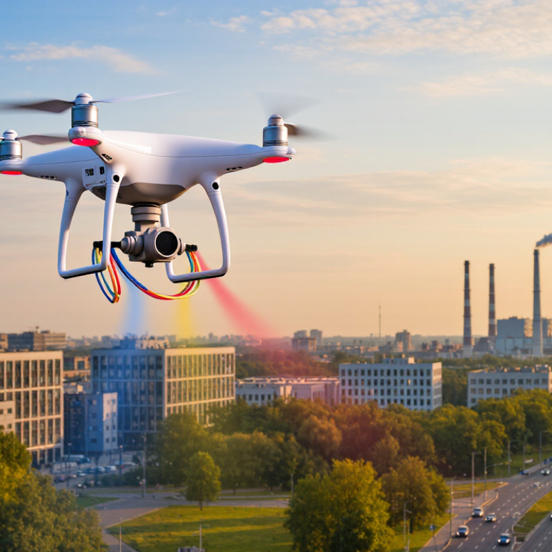
Choosing Air Pollution Detection Drones means choosing a measurement system, not just an aircraft. The right platform must carry suitable sensors, capture dependable location data, and operate safely in the intended environment. A drone that photographs well may still produce weak pollution readings. Small details matter.

Dr. Maria Neira, a public-health expert at the World Health Organization, has described air pollution as “the biggest environmental risk to health.” That concern makes data quality essential. Buyers should compare the pollutants measured, sensor detection limits, calibration procedures, payload capacity, flight time, and data-handling tools. For example, a particulate sensor and a gas sensor answer different questions. Neither automatically provides a complete picture. Rotor wash, changing wind, humidity, and flight altitude can also affect readings. Not every flight helps.

A useful selection process starts with the monitoring goal: mapping street-level variation, checking industrial boundaries, or tracking changes over time. Then review how readings will be validated against reference instruments or established monitoring stations. Ask vendors for field results, maintenance requirements, and clear explanations of uncertainty—not only attractive demonstrations. Experience in one setting may not transfer neatly to another. A system tested on a calm afternoon could behave differently near a busy road. That limitation deserves attention.

This guide examines sensor fit, platform design, calibration, flight planning, data quality, and total operating costs. It also considers what specifications leave out. The best choice is not necessarily the most advanced drone; it is the one that produces useful, repeatable measurements for a defined task.
How to Choose Air Pollution Detection Drones

Define Monitoring Goals and Target Pollutants

Define the monitoring question before comparing drone specifications. Are you mapping roadside exposure, checking emissions near an industrial boundary, or tracking smoke movement? Each goal calls for different flight routes, sampling heights, and revisit intervals. A single midday flight may miss morning traffic peaks. Decide what decision the data should support.

Name the target pollutants precisely. Fine particles such as PM2.5 need suitable particle sensors, while nitrogen dioxide, ozone, and volatile organic compounds require different measurement methods. Some compact sensors respond to more than one gas. Humidity, temperature, vibration, and rotor wash can also affect readings. A sensor’s advertised range does not guarantee reliable measurements in your field conditions. Test it.

Plan how readings will be checked. Compare drone measurements with a trusted stationary monitor before and after flights, and record weather, altitude, and location alongside each sample. If the objective is to find short-lived hotspots, use repeatable low-altitude routes and consistent timing. If it is to compare neighborhoods, prioritize coverage and consistent sampling conditions. A neat map can still mislead. I would treat early flights as trials, because a poorly chosen pollutant target or route can make precise-looking data less useful.

Select Sensors for Required Measurements

How to Choose
Air Pollution Detection Drones

Select Sensors for Required Measurements

Choose sensors based on the pollutants you need to measure, not on a broad “air quality” label. Optical particle sensors can estimate PM2.5 and PM10, while electrochemical cells commonly measure gases such as nitrogen dioxide or carbon monoxide. For each target, check the sensor’s detection range, resolution, response time, and documented accuracy.

Small details matter. A sensor that responds slowly may miss a short pollution plume as the drone passes through it.

The aircraft’s payload and flight conditions also shape sensor choice. A heavier instrument can shorten flight time, and propeller airflow may disturb nearby sampling. Humidity can affect particle readings, while temperature shifts may change gas-sensor performance. Check whether the sensor needs a pump, inlet tubing, or regular calibration, and record its warm-up time.

Compare readings with a suitable reference instrument during testing. That is not enough. Repeat checks at different heights and under varied weather conditions.

It is tempting to select the most sensitive option, but sensitivity alone does not guarantee useful results. A practical setup may still have gaps; note them clearly in the measurement plan.

Assess Flight Range, Endurance, and Sampling Methods

Choose flight range from the shape of the monitoring area, not the advertised maximum. A site with scattered roads may need longer transit legs; a rooftop survey may reward precise hovering instead. Endurance must cover transit, climb, stabilization, sampling, and a safe return reserve. Cold air, wind, and heavy sampling equipment can shorten flight time. Small details matter. Plan a test flight with the full payload, then compare predicted and actual battery use. A neat map can still mislead if the drone returns before sampling the site’s downwind edge.

Sampling method should match the pollutant and the question. Optical particle sensors need steady airflow and careful inlet placement; gas sensors may need warm-up time and protection from vibration. Tubing can delay readings or retain particles, so keep it short and document its material. The U.S. EPA’s Air Sensor Guidebook advises users to evaluate sensor performance and compare readings with established monitoring methods. Treat drone data as supplementary unless its quality has been validated. This matters: the 2024 State of Global Air report estimated 8.1 million air-pollution-related deaths worldwide in 2021. That figure describes the stakes, not a drone’s accuracy. Keep a field log of wind, altitude, sampling intervals, and missed measurements. I would still question any result gathered on only one calm day.

How to Choose Air Pollution Detection Drones

Compare indicative flight endurance and practical survey radius before selecting a platform for your sampling method.

Bars show representative planning ranges, not guaranteed performance. Payload weight, wind, altitude, flight speed, battery reserve, and local operating rules can substantially affect results. Continuous gas or particle sensors support real-time mapping; filters and canisters collect samples for later laboratory analysis and may require a stable sampling period. Multirotors can hover for localized sampling, while fixed-wing aircraft cover larger areas efficiently.

Evaluate Data Accuracy, Calibration, and Software

Choosing an air pollution detection drone starts with the quality of its measurements, not the number of pollutants listed on a brochure. Ask how the sensor performs across the expected temperature and humidity range. A reading taken beside a warm motor or inside a poorly ventilated housing may not represent the surrounding air. Small details matter. Check whether the inlet stays clear and whether the drone records its location and sampling time with each measurement.

Calibration needs a repeatable process. Compare the sensor with a suitable reference instrument before fieldwork, then repeat checks at intervals and after harsh operating conditions. Keep records of dates, reference readings, and any adjustments. Check the baseline. If results drift, label affected data rather than quietly treating every value as reliable. No sensor makes uneven outdoor air perfectly uniform, which is an easy limitation to overlook.

The software should show raw readings, units, timestamps, sensor status, and calibration history. Look for clear flags when data are missing or outside the sensor’s range. Export a sample file and inspect it before committing to a full survey; a polished map can still conceal gaps or confusing units. That is not always obvious. Test the whole workflow on a short, repeatable route, and note where interpretation remains uncertain. Some uncertainty will remain. Make it visible.

How to Choose Air Pollution Detection Drones - Evaluate Data Accuracy, Calibration, and Software

Use these criteria to compare systems for a specific monitoring project. Numerical targets below are suggested procurement or validation criteria, not guaranteed performance specifications; sensor results depend on the instrument, environment, installation, and operating conditions.

Evaluation Dimension What to Check Useful Screening Criterion Evidence or Test Method
Pollutants and measurement range Confirm that the payload measures the pollutants relevant to the project, such as PM2.5, PM10, ozone, nitrogen dioxide, carbon monoxide, or sulfur dioxide. Check the stated units, detection limit, measurement range, and whether the expected concentration range is covered without saturation. Review instrument specifications and test the payload against a suitable reference or certified gas standard across the intended range.
Accuracy and precision Distinguish accuracy from precision. Results can be repeatable yet systematically biased, particularly for compact electrochemical gas sensors and low-cost particle sensors. Set pollutant-specific limits for bias, error, and repeatability before purchase; do not rely on a single “accuracy” percentage for every pollutant or condition. Co-locate the drone payload with an appropriate reference instrument and compare paired readings across the concentrations and conditions expected in the field.
Calibration and traceability Ask how factory calibration is performed, whether calibration coefficients are accessible, and how field checks and recalibration are handled. Require documented calibration dates, procedures, correction factors, and a plan for checks before and after monitoring campaigns. Request calibration certificates or records where available; perform zero/span checks for gas sensors and reference comparisons for particle sensors as appropriate.
Environmental interference Evaluate sensitivity to temperature, relative humidity, pressure, vibration, rotor airflow, and cross-sensitivity to other gases. Confirm that operating limits cover the planned flight conditions and that relevant environmental variables are recorded for quality control. Review interference data and compare measurements at different heights or operating states; document sensor placement and airflow effects.
Sampling rate and response time Check the sensor response time, logging interval, and whether readings are time-stamped consistently with flight data. Choose an interval and response time that can resolve the spatial scale of the survey; account for sensor lag when interpreting moving-flight measurements. Inspect raw time-series data and conduct a stationary test followed by a controlled flight to check for gaps, lag, and synchronization errors.
Location and altitude data Verify how the system records horizontal position, altitude, and measurement time, and whether altitude is relative to the ground or a reference datum. Require stated positioning performance and an unambiguous altitude reference; use higher-accuracy positioning when the project requires fine-scale mapping. Compare logged tracks with a known survey point or independent positioning record, and check that pollutant readings align with the correct coordinates.
Data quality controls Look for flags for invalid readings, sensor warm-up, out-of-range values, calibration status, and missing or duplicated records. Ensure quality flags and raw measurements are retained, not just processed averages or color-coded maps. Review an exported sample dataset and confirm that quality flags, units, timestamps, and any correction steps are clearly documented.
Software, export, and integration Assess flight planning, live monitoring, mapping, data export, access controls, and compatibility with existing GIS or analysis workflows. Confirm export in a usable format such as CSV or GeoJSON, with documented fields, units, timestamps, coordinates, and calibration metadata. Run a trial export and verify that raw data and metadata can be accessed without proprietary processing being the only available option.
Repeatability and field validation Determine whether repeated flights produce comparable measurements under similar routes, heights, and operating conditions. Include repeat flights and reference measurements in the validation plan; define acceptance limits for the project before collecting operational data. Compare replicate flights and co-located readings, then document uncertainty, exclusions, and any environmental corrections applied.

Compare Safety, Regulations, and Operating Costs

When choosing an air pollution detection drone, compare safety procedures, local flight requirements, and the full cost of collecting usable data. A high-accuracy sensor is not enough if the aircraft cannot fly safely at your monitoring sites.

Look for obstacle awareness, reliable return-to-home behavior, and clear battery warnings. A gust near a rooftop can shift a flight path, so check wind limits and define a safe landing area before launch. Confirm local aviation rules for permissions, altitude, and line-of-sight operation. Also consider privacy: plan routes that avoid recording people or private spaces. Rules vary by location. Small details matter.

Operating costs extend beyond the purchase price. Include spare batteries, sensor calibration, replacement filters, operator training, insurance, and time spent processing data. Ask how often the sensor needs calibration and whether readings can be checked against a trusted reference instrument. A cheaper drone may require more maintenance or produce data that takes longer to validate. It is tempting to rank options by advertised accuracy alone; that can be a mistake. Pilot a short route first, then review the results, setup time, and safety workload before committing to regular monitoring.